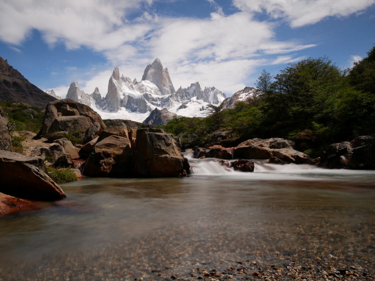
The Fitz Roy trail starts at the northern end of the city. The hike is going to the Laguna de los Tres and is 10.2km long (one way). You will probably walk along the lagoon, so the distance will be a bit more.
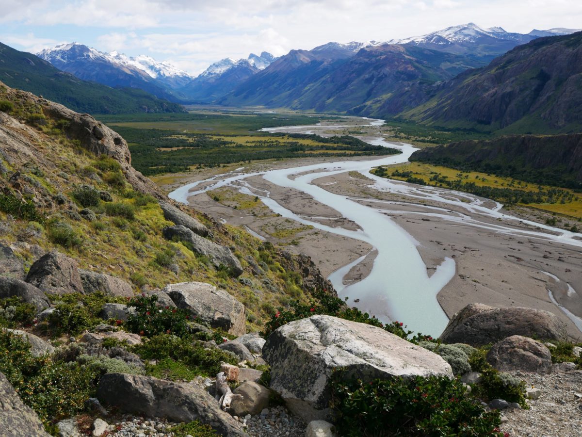
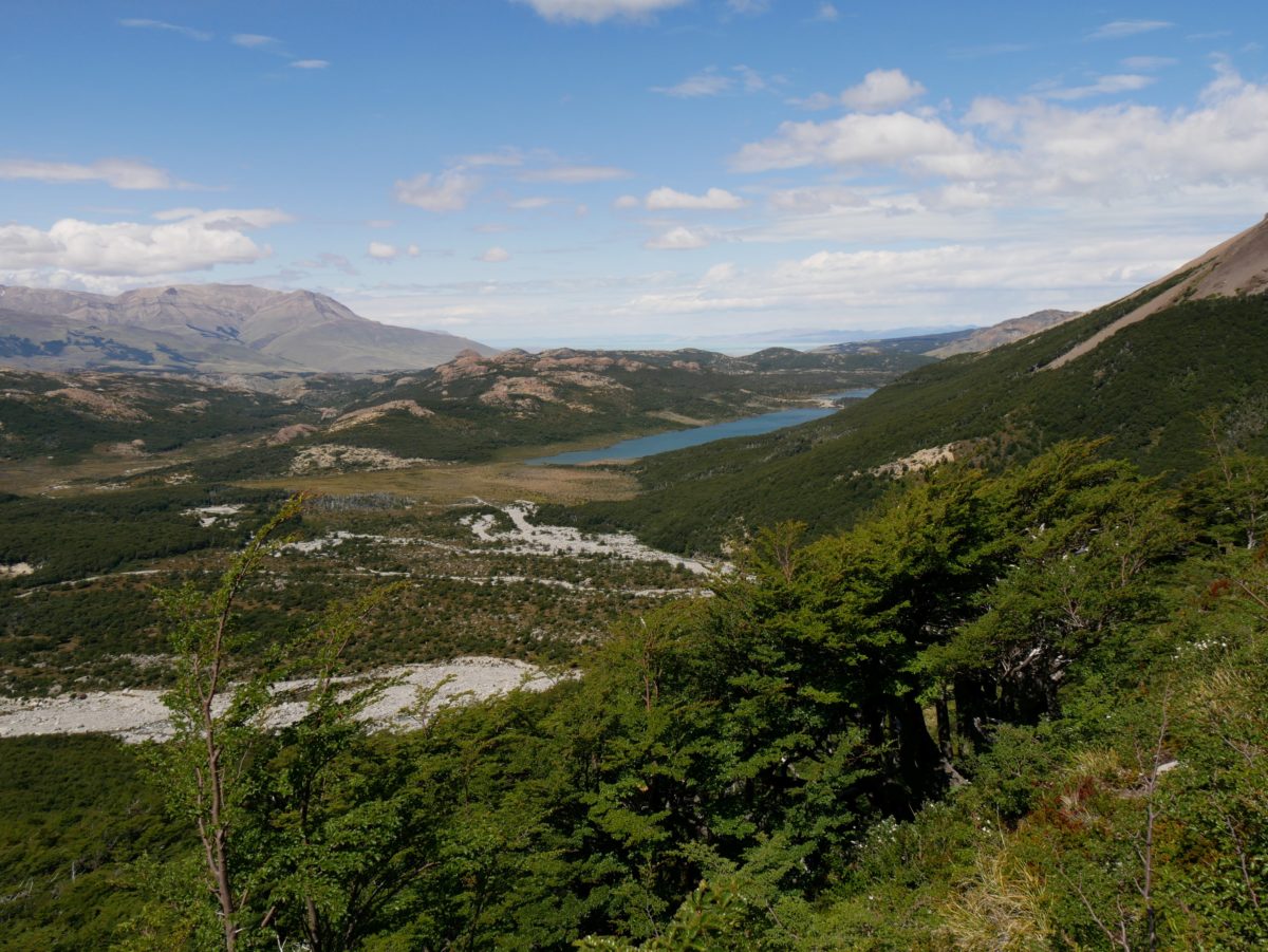
For the first 2-3km the trail only goes uphill, but it is quite pleasant to walk through the forest. After the first km you already have the first viewpoint. It is a view of the Rio de las Vueltas and the valley behind El Chalten.
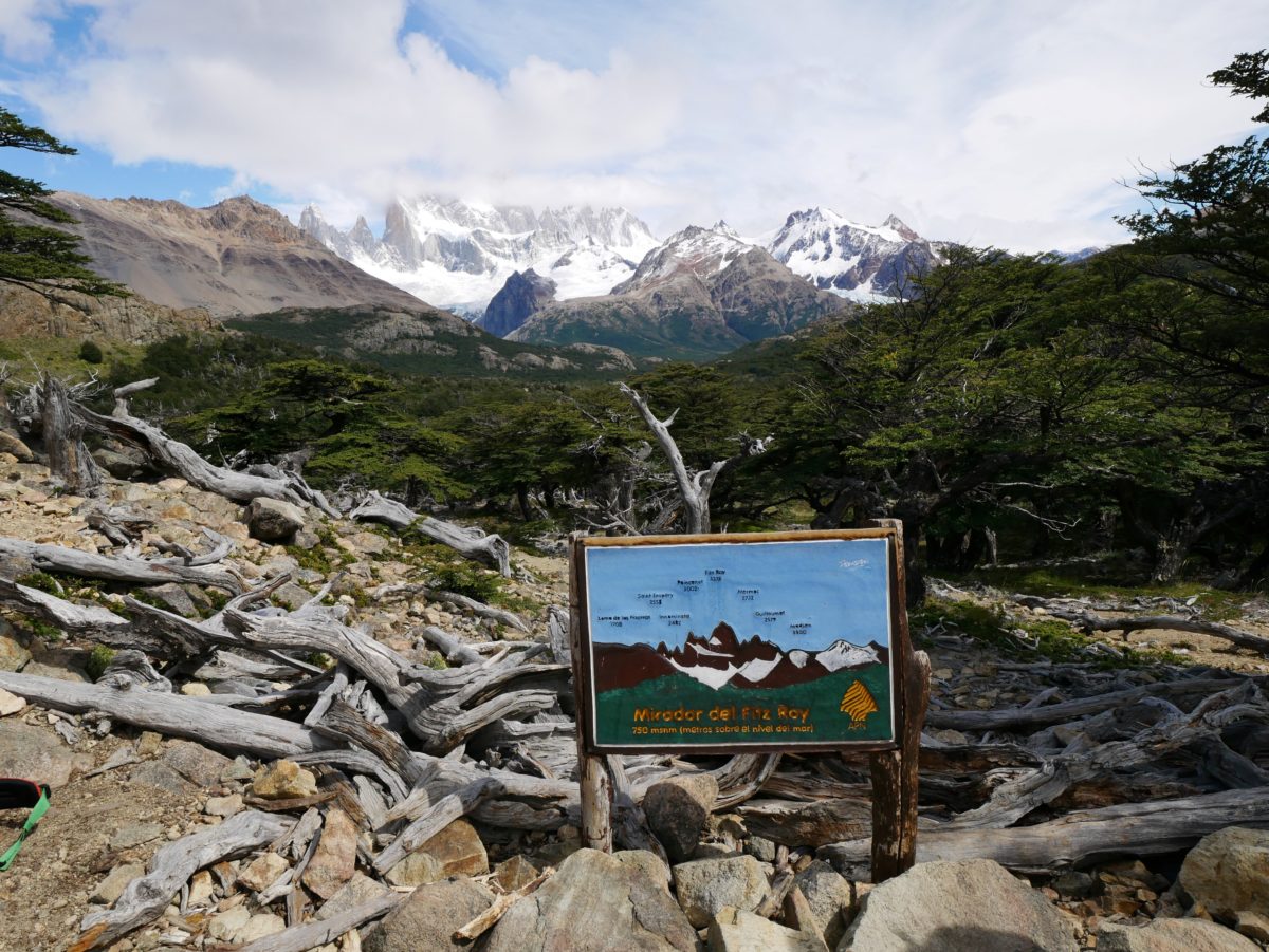
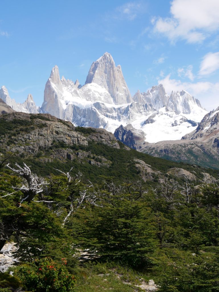
At kilometer 3 the trail splits, the left path goes to the campground and along the Laguna Capri, the right loop to the first Fitz Roy viewpoint. After that the paths meet again. I would recommend to take the right one. At the first junction after the Fitz Roy viewpoint you can go towards the lagoon Capri and then the other way 2min back to see the lagoon. The path then continues relatively flat.
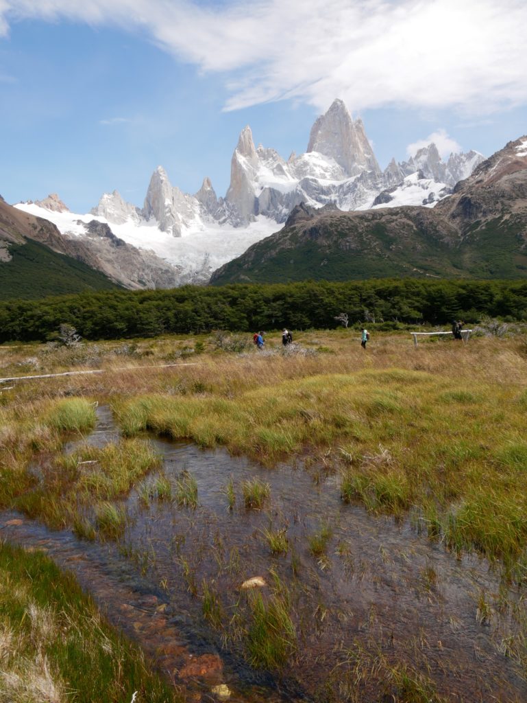
At kilometer 6 you have a river with a small waterfall next to the path and the Fitz Roy in the background. Definitely a postcard view. The trail just continues, between kilometer 8 and 9 you cross another campground.
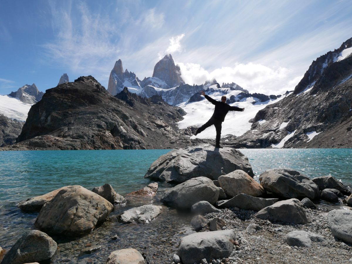
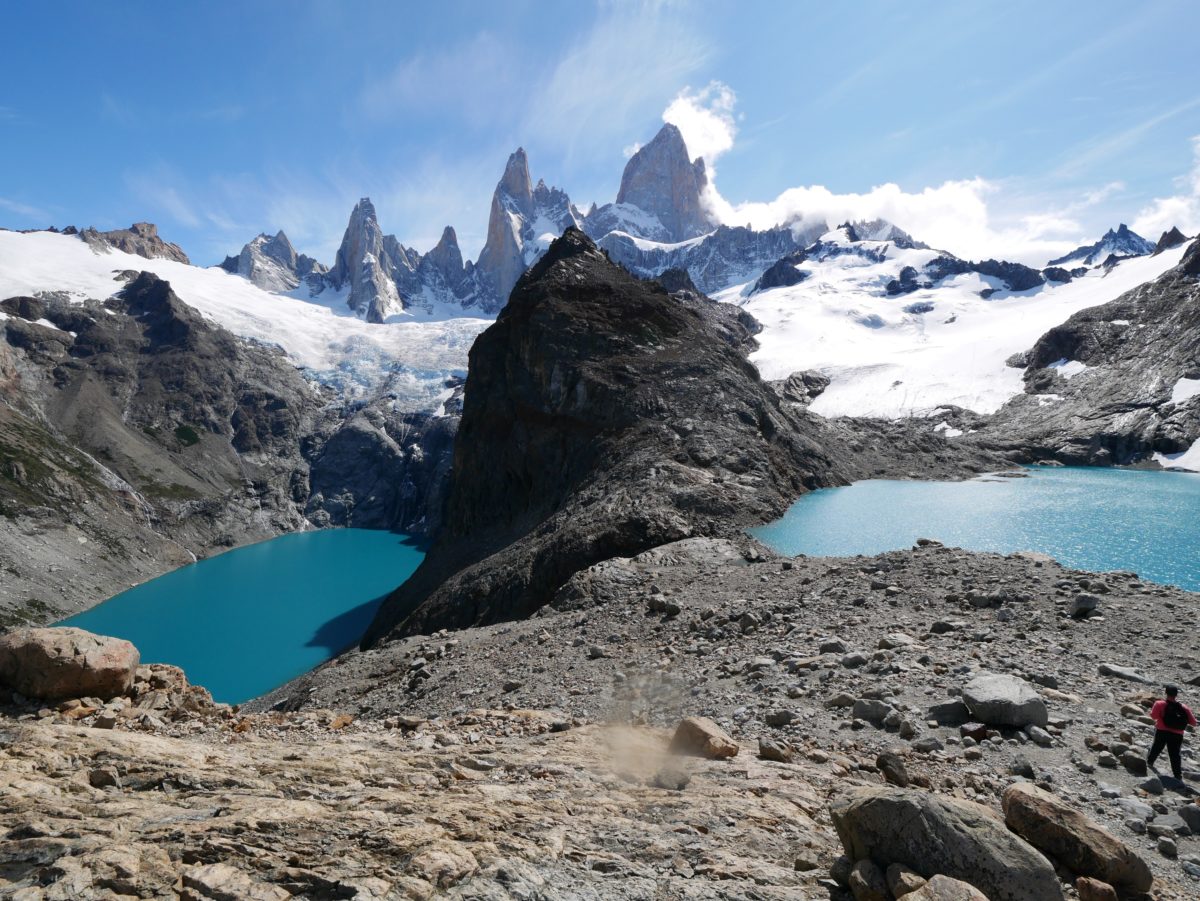
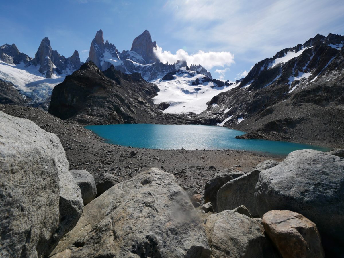
At kilometer 9 the fun is over. Only 1km to go, but the distance is given as 1h. From now on it is only steep uphill, over stones and scree on a now rather unpleasant path. Here you have to overcome another 400 meters of altitude. But when you reach the top, a fantastic view awaits you. You have the Laguna de los Tres and behind Mount Fitz Roy. From the edge you can go down to the lagoon. If you go past the lagoon on the left or on the elevation on the left, you will see a second lagoon.
Afterwards you can go back the same way. If you still have time, you can walk another 2km from kilometer 8 to the Pietdras Blancas Viewpoint with view to the glacier and then back again. If you still haven’t had enough of hiking, you can change from kilometer 7 to the Madre e Hija Trail (8km). This connects the Fitz Roy Trail with the Laguna Torre Trail and passes 2 lagoons.
You will find water at km 2.5, 6 and between km 8 and 9. In my opinion the Fitz Roy Trail is the most difficult trail because of the last very steep and unattractive kilometer, but also the most beautiful trail from a photographic point of view.
